


|
Distance: |
5 miles |
Walk Time: |
1 - 1½ Hrs |
Total Time: |
3 Hrs |
|
No of Climbs |
1 |
Terrain: |
Rise of 170 ft |
Difficulty: |
Easy - 2 |
|
Price Band: |
B |
Features: |
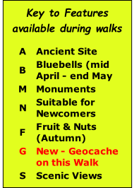
F M N S G |
Day: |
|
|
Distance: |
10 miles |
Walk Time: |
3½ Hrs |
Total Time: |
4 - 4½ Hrs |
|
No of Climbs |
1 |
Terrain: |
Climb - 200 ft |
Difficulty: |
Easy - 1.5 |
|
Price Band: |
C |
Features: |
F M S G |
Day: |
|
|
Distance: |
5 miles |
Walk Time: |
2 - 2½ Hrs |
Total Time: |
3 Hrs |
|
No of Climbs |
0 |
Terrain: |
Flat |
Difficulty: |
Very Easy - 1.5 |
|
Price Band: |
B |
Features: |
F M N S G |
Day: |
|

|
Distance: |
10 miles |
Walk Time: |
3½ - 4 Hrs |
Total Time: |
4½ - 5 Hrs |
|
No of Climbs |
1 |
Terrain: |
Rise of 200 ft |
Difficulty: |
Moderate 2.5 |
|
Price Band: |
C |
Features: |
F M S G |
Day: |
|
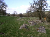
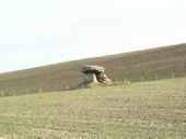
| Avebury |
| Kennet Valley |
| Martinsell |
| Marlborough |
| Savernake |
| Villages |
| West Woods |
| Custom Walks |
| Self-Guided Walks |
| Map & Compass |
| Ley Line Dowsing |
| Ancient Trees |
| Walking for Beginners |
| Beginners Backpacking |
| Geocaching |
| Corporate |
| Activities |
| Corporate |